The Forest of Dean – Past and Present
Past
The Forest of Dean is a geographical, historical, and cultural region in the western part of Gloucestershire. It forms a roughly triangular plateau bounded by the River Wye to the west and northwest, and the River Severn to the east and south.
The area of the Forest of Dean was inhabited in Mesolithic times and there are remains of megalithic monuments, including the Longstone near Staunton and the Broadstone at Wibdon, Stroat. The area was occupied by the Romans around 50AD who would have been attracted by the natural resources of the area such as iron ore, ochre and charcoal. The ‘Dean Road’ still visible at Soudley is believed to be a medieval rebuilding of the Roman road, and as a transport route for iron ore and finished metal products it would have been vital. The central parts of the woodlands in the Forest are believed to have been protected for hunting since Roman times.
Following the Roman occupation, the history of the area becomes more obscure during the Dark Ages, though it may have been part of the Welsh kingdoms of Gwent and of Ergnyg. Over the next few centuries Vikings conducted raids up the Severn, but by the 11th century the kingdom of Wessex had established civil government in the area. The core of the forest was used by the late Anglo-Saxon kings, and after 1066, by the Normans, as their personal hunting ground. The name ‘Forest of Dean’ originates from this time, perhaps derived from the ‘dene’ or valley near Mitcheldean, with areas known as Dene Magna (large) and Dene Parva (small).
During the 12th century, The Hundred of St. Briavels was established at the same time as many of the Norman laws concerning the Forest of Dean were put in place. Then, in 1296, King Edward I used miners from the area at the siege of Berwick-on-Tweed in the Scottish Wars of Independence to undermine the town’s defences and regain it from the Scots. As a result, the king granted free mining rights within the forest to them and their descendants; the rights continue to the present day.
The forest’s rich resources were then used exclusively as a royal hunting ground by the Tudor kings, and as a source of food for the Royal Court. Timber from the forest was perceived as being some of the best in the land and was used primarily to build ships. In particular, to build naval vessels used to repel the Spanish armada.
Exploitation of the Forest of Dean Coalfield developed rapidly in the early 19th century with increased demand from local ironworks, and some of the earliest tramroads in the UK were built here to help transport the coal to local ports. The area was transformed by growth of mining and the production of iron and steel.
The importance of mining to the area is shown by the fact that as late as 1945 half of the male working population of the area worked in the coal industry. The last commercial iron mine in the district closed in 1946 and this was followed in 1965 by the closure of the last large colliery,
Present
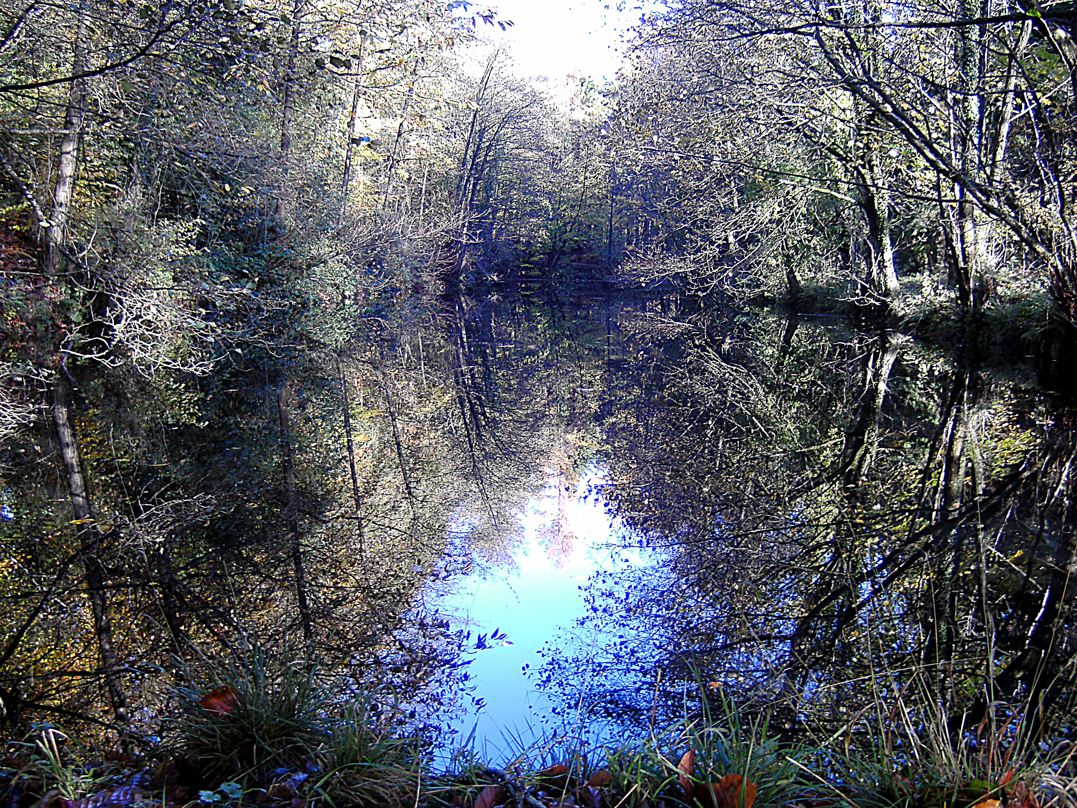
Most of the mines have long been overgrown by the forest and today the area is characterised by picturesque scenery punctuated by largely hidden remnants of the industrial age. Many ponds, used to supply water to the mines, remain and add to the natural attraction.
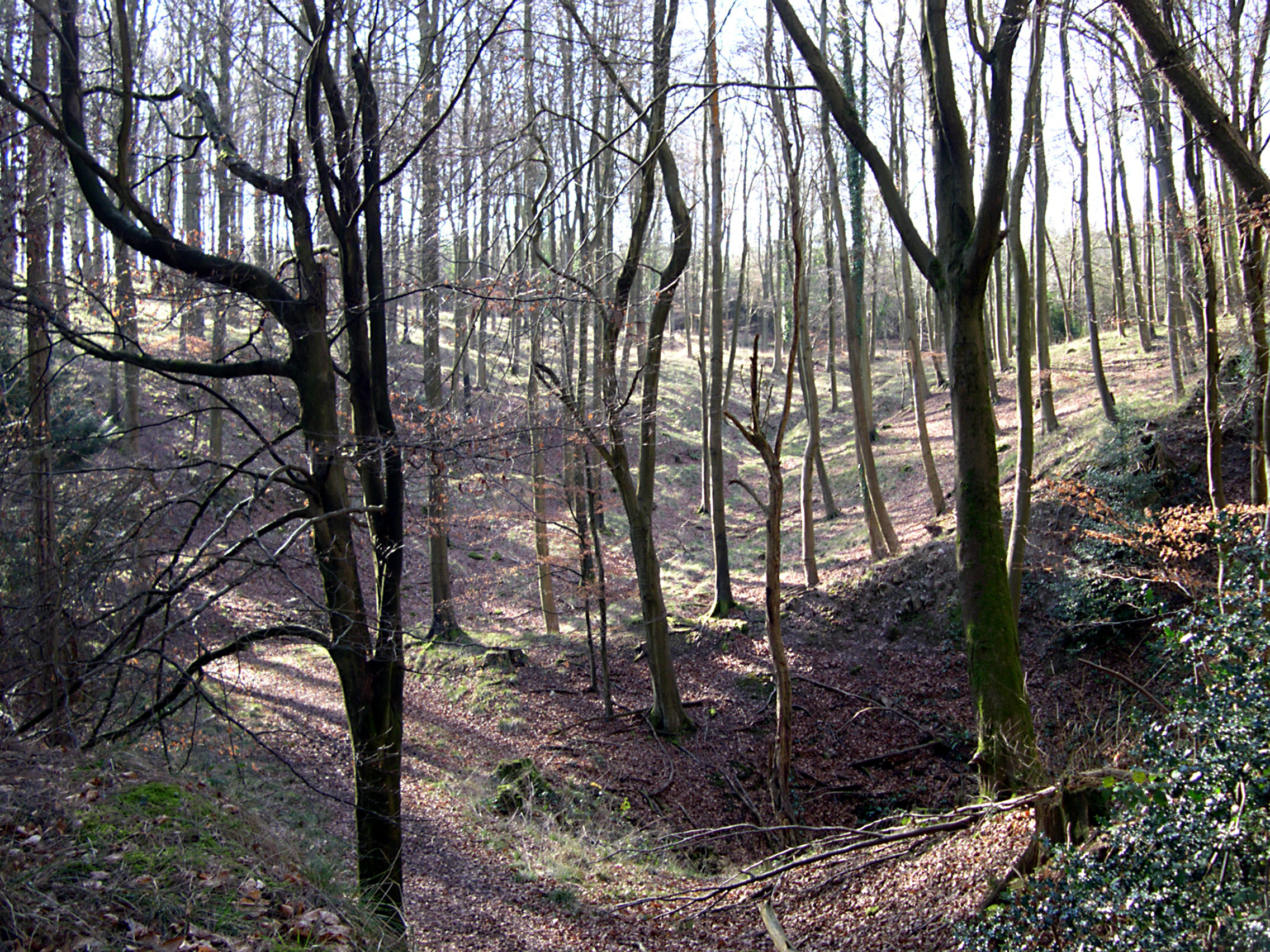
Of note, is the presence of many Scowles throughoutthe Forest. Scowles (see below) are landscape features which range from amorphous shallow pits to irregular hollows up to several metres deep. and are possibly unique to the Forest of Dean.
They have traditionally been interpreted as the remains of prehistoric and early historic open-cast iron ore extraction, but investigation undertaken by the Forest of Dean Archaeological Survey from 2003 to 2004 suggests that they have a primarily natural origin which has been exploited by humans.
An extreme example of Sowels is visible at a local attraction, Puzlewood, near Coleford, certainly worth a visit whilst exploring the Forest!
Historically, the Forest and its people have developed a unique identity, being neither English nor Welsh. It is sometimes referred to as ‘a Country between two Countries’.
The main towns are Coleford, Cinderford and Lydney although, purists maintain that the latter is not ‘really’ a part of the ancient Forest of Dean. Mining has been replaced mainly by tourism, but light industry and technology thrive.
The Civil Parish of Ruspidge and Soudley
Past and Present
Ruspidge
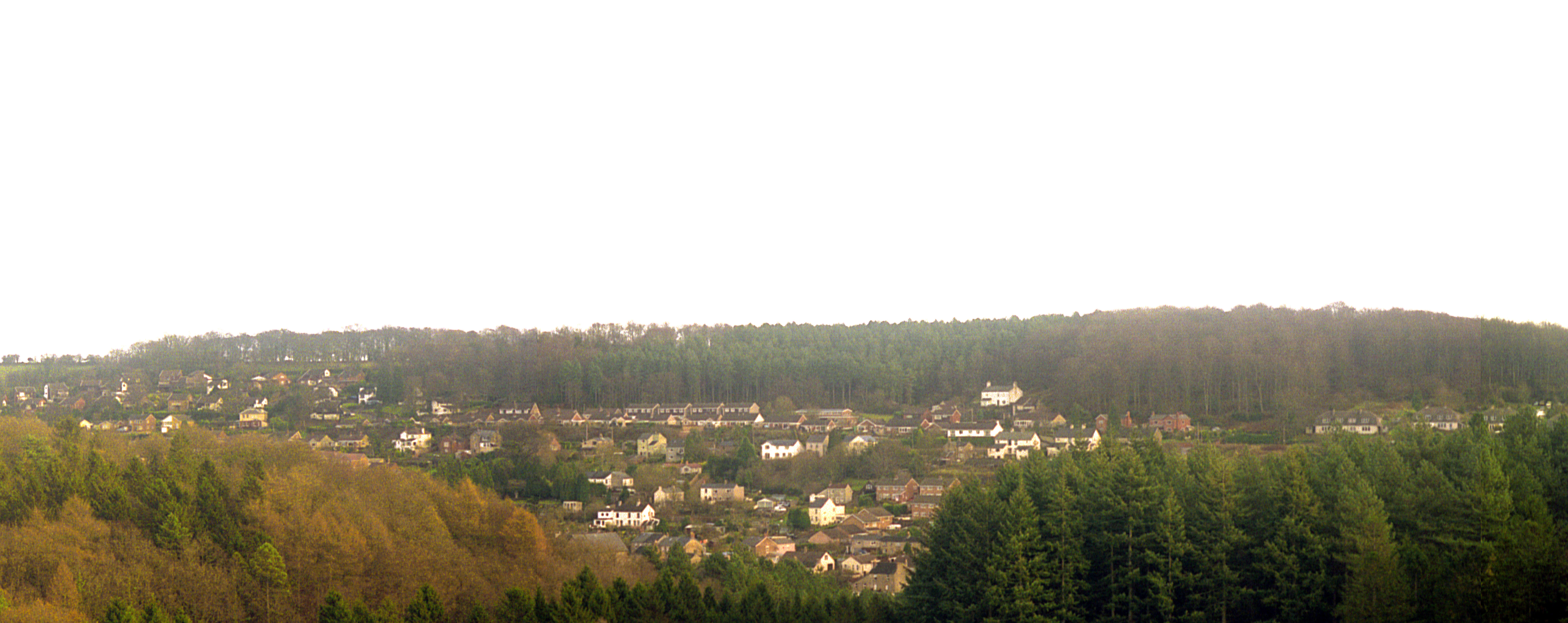
Owing to population growth and resultant development, Ruspidge Village has largely been subsumed into the town of Cinderford. It does however retain a separation in statutory boundary terms. The statutory boundary with Cinderford runs along the middle of St White’s Road, from the roundabout, looking down the hill, Ruspidge is to the left and Cinderford to the right. Today it is largely a residential area. The village consists of dwellings to either side of Ruspidge Road, which runs south to Soudley and beyond. During the second world war, Ruspidge was used to billet USA troops in advance of the D Day invasion.
Ruspidge was an important mining area, where both iron ore (in Buckshaft) and coal (in the Eastern United Colliery) were extracted.
For visitors to the area, picturesque walks abound in the wooded hillsides which rise either side of Ruspidge.
Soudley
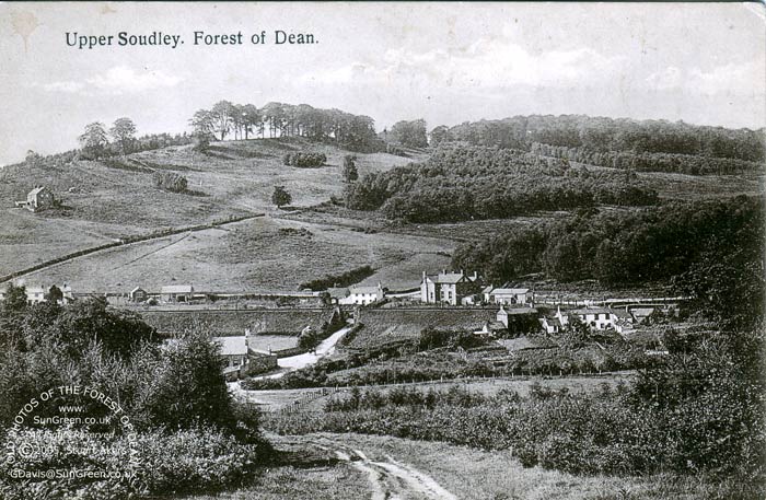
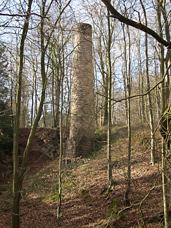
Some 2 miles South of Ruspidge, Soudley, has retained its village character and sits in a picturesque valley. It too was involved in the mining industry, but to a lesser degree. One of the many (long since dismantled) Forest railway lines ran through the village, transporting mainly coal and iron.
Between the two villages was a large quarry (long since abandoned) where the stone, which varies in colour but is mainly dark grey, was the principal building material used in the Forest's 19th-century industrial hamlets.
The chief attractions for visitors to Soudley are the Forest of Dean Heritage Centre, offering displays of a local history, chain saw carving and charcoal manufacturing. Nearby Soudley Ponds, surrounded by impressive Douglas Fir trees, offer picturesque walks. In May, the local woods are famous for stunning displays of Bluebells.
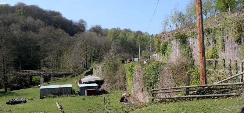
More historical pictures may be seen in our Image Gallery - under Local Services.
